
Headquarters:3rd Floor, Haiguo Jiaye Sci-Tech Park, Haidian District, Beijing, China
Docking guidance
The Benewake 3D LiDAR applied to Docking guidance has the following features
• 350m+ ultra-long range
• 120°*25.6° wide field of view, covering a larger area
• 0.1°*0.1° angle resolution for clearer target scanning
• IP67 protection level and high degree of productization


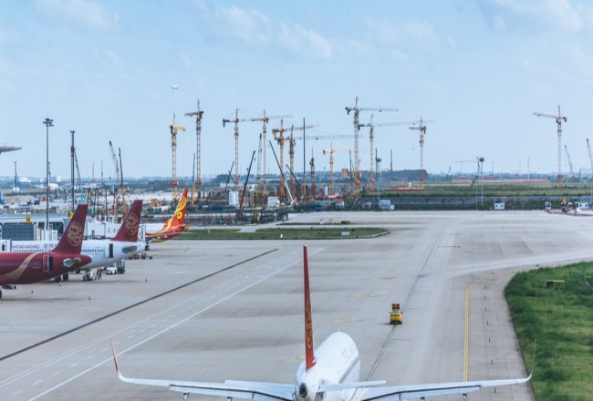
Apron monitoring
The Benewake 3D LiDAR applied to Apron monitoring has the following features
• 350m+ ultra-long range
• 120°*25.6° wide field of view, covering a larger area
• Informative 3D location, distance, speed and other information
• IP67 protection level and high degree of productization