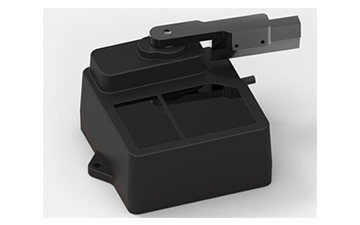
Long Distance Series Product Model

2025-02-19
Our cutting-edge technologies, especially our single point LiDAR systems, have won praise for their accuracy and dependability. We offer innovative solutions that are intended to improve data accuracy and operational efficiency, with an emphasis on catering to the particular requirements of diverse sectors. To assist clients in making wise choices, we will contrast single-point and multi-point
LiDAR systems in this post, stressing the benefits and drawbacks of each.

Understanding Single Point LiDAR Technology
Single point LiDAR operates by emitting a laser pulse that measures the distance to a single target point. This straightforward approach allows for high accuracy in distance measurement, making it ideal for applications that require precise location data. The compact design of single point LiDAR sensors, such as those produced by Benewake, also makes them easy to integrate into various systems, including drones and autonomous vehicles. However, while single-point LiDAR excels in precision, it may not capture comprehensive environmental data like multi-point systems.
Advantages and Disadvantages of Single Point LiDAR
One of the primary advantages of single point LiDAR is its simplicity and cost-effectiveness. These systems generally require less power and components than multi-point LiDAR systems, which translates to lower overall costs for consumers. Furthermore, single point LiDAR is known for its high measurement accuracy and minimal interference, providing reliable data even in challenging conditions.
However, there are some disadvantages to consider. Single point LiDAR can only capture one point at a time, which means the sensor may miss vital information in rapidly changing environments. For instance, a single point LiDAR system might struggle to detect multiple obstacles in quick succession, limiting its effectiveness in certain applications such as advanced mapping or complex obstacle avoidance.
Multi-Point LiDAR Systems: A Different Approach
Multi-point LiDAR systems, in contrast, use multiple laser pulses to map an area more comprehensively. This ability to capture multiple points simultaneously allows these systems to create detailed 3D representations of the environment, making them suitable for applications such as topographic mapping and urban planning. However, while multi-point systems can provide richer data, they often come at a higher price point and can be more complex to implement.
In addition, multi-point LiDAR may encounter issues with data processing, requiring more powerful systems to manage the increased volume of data captured. Users must weigh the benefits of detailed data against the potential costs and complexities associated with multi-point systems.
Conclusion
There are distinct advantages and disadvantages to both single point LiDAR and multi-point systems. At Benewake, we think single point LiDAR is a great option for applications where simplicity and accuracy are crucial. Depending on the needs of the application, multi-point systems might not always be required, even though they offer rich data. We can assist you in identifying whether LiDAR solution—single point or multi-point—will best meet your goals by assessing the particular requirements of your project.