


Headquarters:3rd Floor, Haiguo Jiaye Sci-Tech Park, Haidian District, Beijing, China

We use cookies to enhance your browsing experience and serve personalized content.
Reject ALL
Accept ALL


2025-11-19
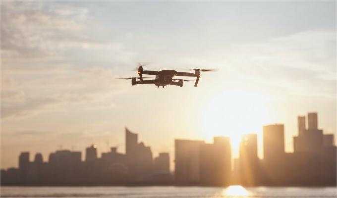
The rapid expansion of the Unmanned Aerial Vehicle (UAV) market necessitates stringent demands for operational safety and precision, particularly in logistics and delivery. Accurate altitude determination and maintenance are paramount for autonomous navigation in diverse environments. LiDAR-based altitude sensors are foundational technologies enabling secure and efficient drone operations, including package delivery. This post will detail the critical function of altitude sensors in UAVs and their role in facilitating autonomous flight.
The Critical Role of Altitude Sensing in UAV Operations
Accurate altitude data is fundamental for every phase of a drone delivery mission, from takeoff to landing. An altitude sensor provides the real-time height measurements necessary for a UAV's flight controller to execute commands with precision and avoid potential hazards.
Terrain Following and Obstacle Avoidance
Unlike barometric altimeters, which measure height relative to sea level, LiDAR altitude sensors measure the true distance to the ground (Above Ground Level or AGL). This capability is essential for:
· Terrain Following: In areas with varied topography, such as hills or urban infrastructure, a LiDAR sensor enables the drone to maintain a constant, safe altitude relative to the ground below. This prevents collisions that could occur if the UAV were flying at a fixed altitude based on its launch point.
· Low-Altitude Navigation: During the final stages of a delivery, the drone must operate at low altitudes. LiDAR provides high-frequency, precise measurements to navigate obstacles like trees, power lines, and buildings that are common in residential and commercial areas.
Precision Landing and Package Deployment
The final moments of a delivery are the most critical. Altitude sensors ensure a safe and successful drop-off by:
· Enabling Controlled Descent: As the drone approaches its delivery point, the sensor provides continuous data to manage the rate of descent, ensuring a smooth, stable approach.
· Triggering Package Release: The sensor can be configured to trigger the package release mechanism once the drone reaches a predetermined, safe height above the ground. This guarantees the payload is delivered accurately without risk to the drone or the package.
Introducing the TFA170-L: High-Precision Altitude Sensing
For system integrators developing advanced drone delivery platforms, selecting a sensor that delivers reliable performance is non-negotiable. The Benewake TFA170-L is a single-point ranging LiDAR sensor engineered specifically for demanding UAV altitude-hold applications.
The TFA170-L drone altitude sensor is designed to provide stable, accurate, and high-frequency altitude measurements, making it an ideal solution for terrain following, precision landing, and overall flight safety.
Key Specifications:
· Detection Range: 0.1-170m
· Frame Rate: 50 Hz (default)
· Ranging Accuracy: +10cm(<10m), 1%(≥10m)
· Filed of View: <0.5°
· Weight: 10 g
With its compact design and robust IP67-rated enclosure, the TFA170-L ensures dependable performance even in challenging outdoor environments.
Benewake is a global technology company with hundreds of patents and a business presence in over 90 countries. We provide innovative and reliable LiDAR solutions, empowering top enterprises worldwide to build safer, more intelligent systems for industries including rail transit, civil aviation, shipping, and industrial applications.
Contact our team today to learn how the TFA170-L and our portfolio of advanced LiDAR sensors can enhance the safety and efficiency of your UAV solutions.