


Headquarters:3rd Floor, Haiguo Jiaye Sci-Tech Park, Haidian District, Beijing, China

We use cookies to enhance your browsing experience and serve personalized content.
Reject ALL
Accept ALL


2025-11-28
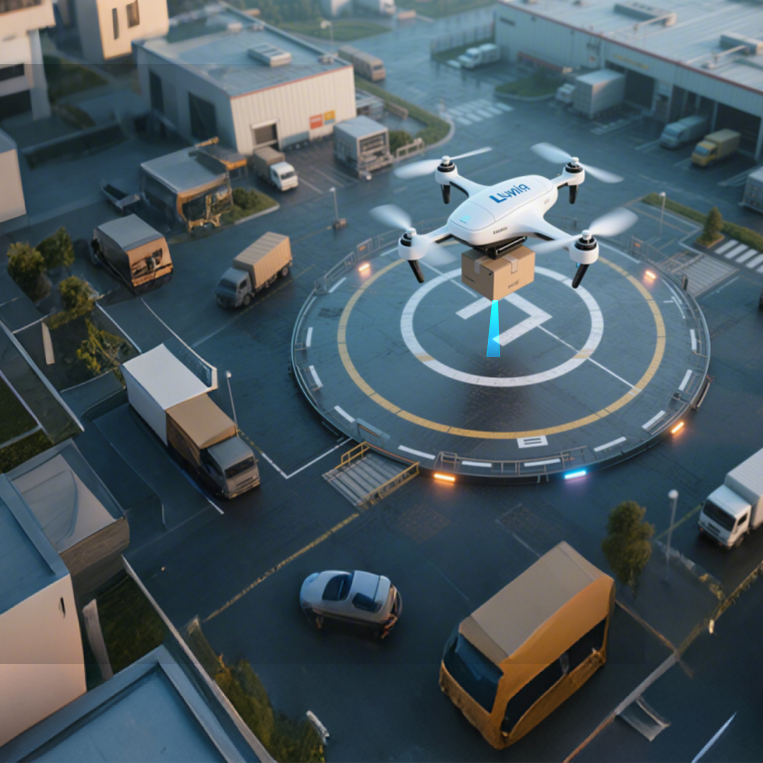
The progress of autonomous Unmanned Aerial Vehicles (UAVs) is directly dependent on their capacity for safe navigation and environmental perception. For system integrators, achieving reliable obstacle avoidance in UAV platforms is a critical engineering goal. This capability integrates sensor technology, data processing, and flight control algorithms. A comprehensive understanding of these scientific principles is essential for designing effective and secure autonomous systems. This article will delineate the scientific foundations and technological elements central to contemporary drone obstacle avoidance systems.
The Foundation: Perception Through Advanced Sensing
An autonomous drone's ability to "see" its environment is the first and most critical step in the obstacle avoidance process. This perception is achieved through various sensor technologies, with LiDAR (Light Detection and Ranging) being a principal solution due to its precision and reliability.
How LiDAR Builds an Environmental Picture
LiDAR sensors operate by emitting pulses of laser light and measuring the time it takes for these pulses to reflect off an object and return to the sensor's detector. This is known as the Time-of-Flight (ToF) principle.
1. Signal Emission: A laser diode emits a directed pulse of light.
2. Signal Return: The light hits an object and scatters, with a portion of the energy returning to the sensor.
3. Data Calculation: The sensor's microprocessor calculates the distance to the object based on the measured time delay.
By performing this operation thousands of times per second, the LiDAR sensor provides the UAV's flight controller with a high-frequency stream of precise distance measurements. This data effectively creates a real-time map of potential obstructions in the drone's flight path.
From Data to Decision: The Avoidance Workflow
Raw distance data from a sensor is not enough to prevent a collision. This information must be processed and translated into actionable commands for the flight controller.
The Role of Sensor Fusion and Algorithms
In advanced UAVs, data from multiple sensors (a process known as sensor fusion) is fed into sophisticated algorithms. These algorithms are responsible for:
· Object Recognition: Differentiating between actual obstacles and sensor noise or insignificant environmental elements.
· Path Planning: Using the real-time environmental map, the system continuously calculates the safest and most efficient path forward.
· Maneuver Execution: When an obstacle is detected within a critical threshold, the algorithm instructs the flight controller to execute an avoidance maneuver. This could be a command to brake, ascend, or navigate around the object. The effectiveness of this maneuver is directly dependent on the low latency and high accuracy of the initial sensor data. A delay of even a few milliseconds can be the difference between a near-miss and a collision, especially at high speeds.
Introducing the TFA300 for High-Speed Proximity Sensing
For system integrators requiring robust obstacle avoidance capabilities, Benewake offers the TFA300 proximity sensors for drones. This single-point LiDAR sensor is engineered specifically for the high-speed, high-frequency data acquisition necessary for real-time obstacle detection in UAVs and robotics. Its performance is optimized for close-range awareness, a critical element for safe navigation in complex environments.
Key Specifications:
· Default frame rate: 1 ~ 1,000 Hz (adjustable), up to 10,000 Hz in ultra-high-frequency mode
· Real-time updates: Every 3.4 cm at Mach 1 speed
· Detection range: 0.1 ~ 290 m
· Ranging Accuracy: ± 10 cm (< 10 m) 1% (≥ 10 m)
· Interface: CAN (DroneCAN supported)
· Connectors: JST GH (industry standard)
· Designed for EO/IR gimbals, SAR drones, FPV racing drones
The TFA300's high frame rate and IP65-rated housing make it a reliable and cost-effective solution for enabling superior perceptual capabilities in autonomous systems.
Benewake is a LiDAR technology company with a global presence in over 90 countries and regions, holding hundreds of patents in the field. Our LiDAR solutions are trusted by top 500 enterprises to achieve automation and intelligent systems in industries including rail transit, civil aviation, shipping, and industrial applications.
Contact our team to learn how the TFA300 can provide the precise, real-time data required to enhance the safety of your UAV platform.