


Headquarters:3rd Floor, Haiguo Jiaye Sci-Tech Park, Haidian District, Beijing, China

We use cookies to enhance your browsing experience and serve personalized content.
Reject ALL
Accept ALL


2025-11-28
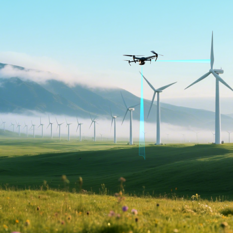
To achieve true autonomy, UAVs need more than forward-facing obstacle avoidance; they require 360-degree perception for safe navigation in complex environments. Multi-directional sensing enables this by providing comprehensive awareness of surroundings, making it essential for next-generation drones. This article explores the principles and importance of multi-directional sensing in advanced UAV navigation.
Beyond Single-Direction Awareness
Multi-directional sensing is the integration of multiple sensor units positioned strategically on a UAV's airframe to create overlapping fields of view. This sensor array provides the flight controller with a complete, spherical understanding of its immediate environment, covering not just the front, but also the rear, sides, top, and bottom. This comprehensive awareness moves a drone from simple obstacle avoidance to true environmental navigation.
The Architectural Approach for Multi-Directional Sensing
Implementing this system involves placing individual proximity sensors, such as single-point LiDARs, to monitor specific vectors around the drone. A typical configuration might include:
· Forward and Aft Sensing: To detect obstacles during forward flight and while reversing or maneuvering backward.
· Lateral Sensing (Left and Right): Crucial for navigating narrow corridors, such as urban canyons or dense foliage, and for detecting cross-traffic.
· Upward Sensing: To identify overhead obstacles like bridges, ceilings in indoor environments, or tree canopies.
· Downward Sensing (Altitude Hold): A dedicated sensor for precise altitude-above-ground (AGL) measurement, essential for terrain following and safe landings.
The data from these individual sensors is aggregated and processed by the flight controller, creating a real-time, 3D "bubble" of awareness.
Enabling Advanced Autonomous Functions
A multi-directional sensing system is the foundation upon which more sophisticated autonomous behaviors are built. With a complete perceptual model, a UAV can execute complex maneuvers with a high degree of safety. This includes navigating through cluttered spaces, safely operating in close proximity to structures for inspection tasks, and interacting with ground personnel or other automated systems. The aggregated data allows the flight control system to make intelligent path-planning decisions, choosing to ascend over, maneuver around, or halt before an obstacle, depending on which vector is clear.
Introducing the TFA300 Series for Multi-Directional Arrays
The Benewake TFA300 series, including the ultra-lightweight TFA300-L and the IP67-rated TFA300, is engineered for multi-directional sensing in UAVs. The series is optimized for integration into EO/IR gimbals and various drones to support functions like camera auto-adjustment, localization, altitude hold, and obstacle avoidance.
Key Specifications:
· Frame Rate: 1 ~ 1,000 Hz (adjustable), up to 10,000 Hz in ultra-high-frequency mode
· Detection Range: 0.1 ~ 290 m
· Field of View (FoV): <0.5°
· Weight: TFA300-L: 10.5 g (without housing); TFA300: 34.5 g (with IP67 housing)
· Dimensions: 32.0 mm × 30.2 mm × 20.2 mm
· Accuracy: ±10 cm (<10 m), 1% (≥10 m)
· Connectors: Industry-standard JST GH, CAN interface, and DroneCAN protocol support for plug-and-play compatibility
Built for all-weather reliability, the TFA300 series drone distance sensor performs effectively in extreme temperatures, high ambient light (up to 100 KLux), and harsh outdoor conditions like rain, fog, and dust. It minimizes false detections compared to traditional LiDAR, ensuring safe, reliable operations in high-risk environments.
Benewake, a global LiDAR technology leader with hundreds of patents and a presence in over 90 countries, provides LiDAR solutions powering advanced automation in industries from aerial robotics to industrial systems.
Contact us today to discover how the TFA300 series can elevate precision and safety for your drone navigation system.