















Headquarters:3rd Floor, Haiguo Jiaye Sci-Tech Park, Haidian District, Beijing, China

We use cookies to enhance your browsing experience and serve personalized content.
Reject ALL
Accept ALL


NOVA20 Solid-State Near-Field Multi-Point Line LiDAR — Low-Height Blind-Spot Coverage
Product: NOVA20 Solid-State Multi-Point Line LiDAR Application: AGV / AMR Mobile Robots
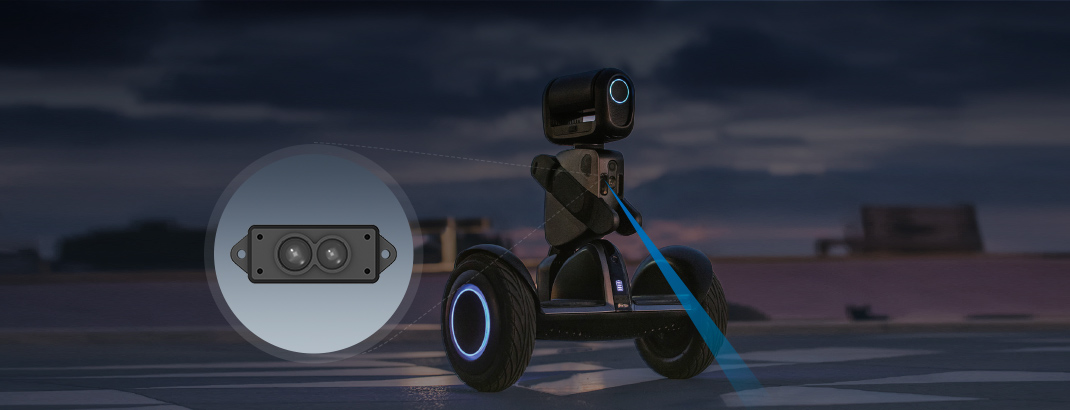
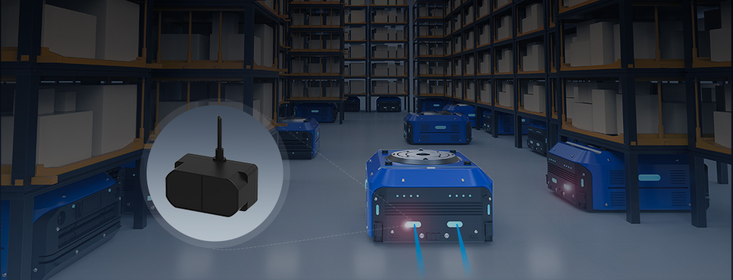
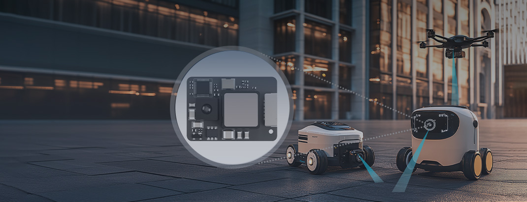
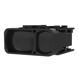
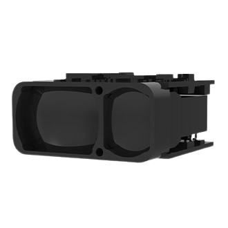
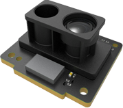
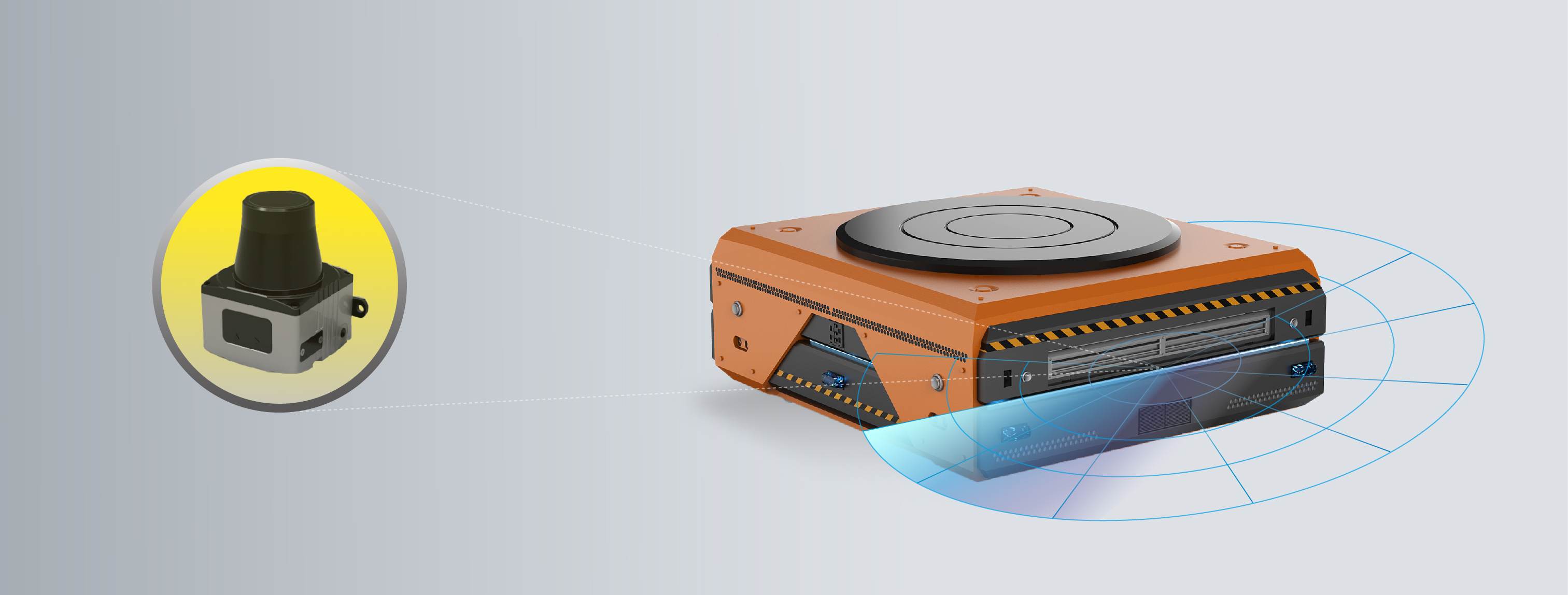
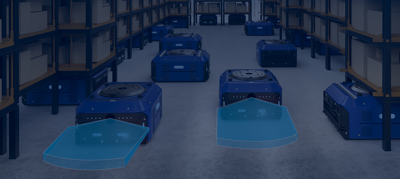
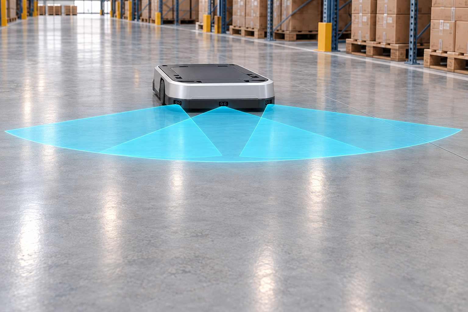
NOVA20 is a fully solid-state multi-point line LiDAR that provides near-field distance information from 20 channels, with a 40° angle between the center directions of the end channels. When the module is installed at the front of a vehicle, the 20-channel scan plane can be oriented horizontally to form a low-height sensing curtain. Multiple NOVA20 modules can be deployed across the front: a central module faces forward while the left and right modules are angled outward, joining their 40° line-array fields of view to cover vehicle width and the outer front area when turning. The sensors focus on pallet forks, crossbars, step edges, and low-profile loads below the primary LiDAR scan plane, providing low-height supplementary data for the controller to support graded deceleration and stopping.
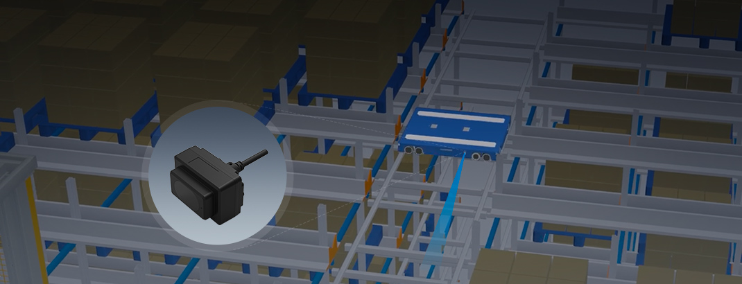
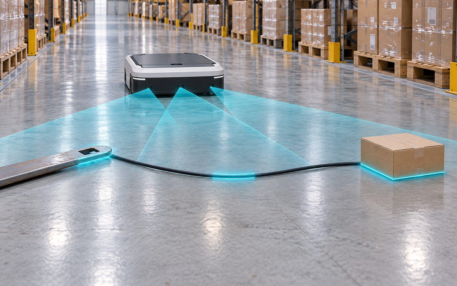
2D navigation LiDAR typically maps and navigates in a fixed horizontal scan plane, which can leave blind spots for low-profile targets such as pallet forks, crossbars, cables, and step edges. When NOVA20 is installed as a horizontal sensing curtain, its 40° line-array field of view can cover multiple lateral positions and supplement detection in front of the vehicle below the primary LiDAR scan plane.
Under the specified condition of 100 klux ambient illumination and a 10% low-reflectivity target, NOVA20 has a 1 m measurement capability, suitable for indoor environments and selected bright outdoor scenarios. Vehicle-level validation is recommended for backlighting, direct sunlight, or targets with special materials, taking account of reflectivity, incidence angle, and mounting position.
NOVA20 outputs distance, signal strength, and channel number for each channel. The controller can combine channel position, the extent of consecutive triggering, and temporal results to estimate an obstacle's location and lateral occupied range. The vehicle system can then apply graded deceleration or stopping strategies, reducing unnecessary stops caused by transient interference.
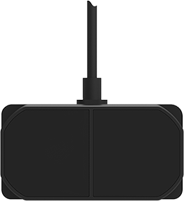
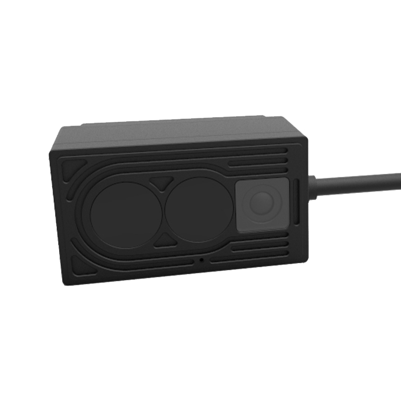
With typical module dimensions no greater than 25 × 21 × 14 mm, weight below 3 g, and average power consumption below 1 W, the fully solid-state design supports distributed installation of multiple modules. Customers can design their own enclosures and mounting structures, joining fields of view to suit vehicle width and turning requirements.
Supplement low-height blind spots below the primary LiDAR scan plane and reduce the risk of AGV/AMR vehicles running over pallet forks, dragging cables, colliding with low-profile loads, or dropping from steps during transport, turns, and positioning.
The controller can use obstacle distance, location, and lateral occupied range to configure warning, deceleration, and stopping strategies, reducing unnecessary stops and manual intervention caused by transient interference.
Its compact size, light weight, and low power consumption place minimal demands on vehicle structure and power supply when multiple modules are deployed. UART directly outputs distance, signal strength, and channel number, avoiding image capture, object recognition, and complex model training to shorten deployment and commissioning cycles.
Horizontal sensing curtains acquire near-field data, the controller identifies the obstacle area, and the chassis applies the corresponding strategy.
NOVA20 outputs distance, signal strength, and channel number from 20 channels.
The controller combines channel positions and consecutive frames to estimate obstacle area and occupied extent.
The vehicle system applies warning, deceleration, speed-limiting, or stopping strategies.
| Measurement Capability | 1 m @ 10% reflectivity, 100 klux; maximum up to 3 m |
|---|---|
| Blind Zone | ≤ 5 cm |
| Accuracy | 3 cm @ 0.1–0.3 m; 5 cm @ 0.3–0.5 m |
| Precision | ≤ 3 cm (1σ) |
| Frame Rate | 5 / 10 / 25 / 50 Hz, configurable |
| Optics | VCSEL source, 905 nm, Class 1 eye-safe (EN 60825) |
| Electrical | DC 5 V ±5%, average power consumption < 1 W |
| Environment | Operating temperature: −20°C to +55°C |
| Mechanical | Typical module dimensions ≤ 25 × 21 × 14 mm; weight < 3 g |
| Interface | UART (LVTTL), default 921600 baud; supports Windows, Linux (Ubuntu), and ROS |